
Monsoon to gather strength in the coming week: IMD


New Delhi, July 19: The Monsoon, which has not been strong enough so far in July, is staging a strong comeback, according to the India Meteorological Department (IMD).
Nationwide, there has been a rainfall deficit of 24 per cent so far, with the country receiving 244.6 mm of rain against a normal of 323.1 mm.
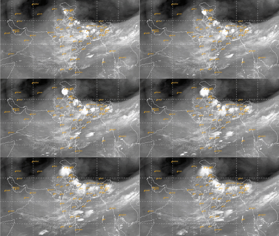
The revival is expected to start in Northeast India and then spread to East, Central and North India early next week.
Widespread showers and thunderstorms are likely, with heavy rain in some places.
For the Gangetic plains and Central India, which have spent weeks under a hot, sticky haze, this will be the first real relief of the month.
The reason for the comeback is a fresh low-pressure area forming over the Bay of Bengal.
A low-pressure area is a patch of the atmosphere where air rises. As it rises, it behaves like a giant vacuum cleaner, sucking in moist winds from the sea and organising them into rain-bearing clouds.
India has witnessed a break in the monsoon phase, with very few low-pressure systems formed over the Bay of Bengal this month, the moisture-carrying winds from the Arabian Sea weakened, and sinking air over the country suppressed cloud growth.
The improved rainfall is expected to cool the plains and help farmers who have to sow rice, soybean, cotton and pulses. (BVI)
